At Planificación Territorial y Urbana SpA,
we provide solutions for the development of
productive activities in the territory.
We create solutions.
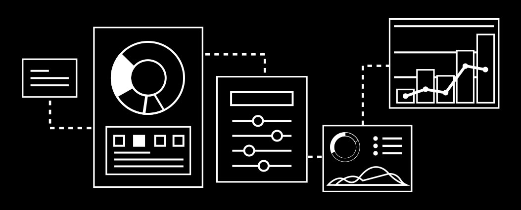
We provide resources that enable decision-makers to consume information easily and systematically.
Methodology

We ask questions.
We gather and process information to answer these questions and make solutions visible.
We reduce costs.
We decrease the expenses generated by the lack of coordination of territorial information and visualize opportunities for the development of sustainable and viable projects.
Our Clients
2023 - 2026 Territorial Information System Permits Copper Unit - Chagres, El Soldado and Los Bronces Operations.
- CUSTOMER: Permits Management
- ENTERPRISE: Anglo American
2023 - 2026 Territorial Information Management and Analysis Service for Decision Making.
- CUSTOMER: Infrastructure and Services Management, Operational Services Superintendence.
- ENTERPRISE: Anglo American Los Bronces
2023 - 2024 Construction and Surface Property Update for Tax Appraisals according to Internal Revenue Service Parameters.
- CUSTOMER: Permits Management
- ENTERPRISE: Anglo American Operación Los Bronces
2023 - 2024 Territorial Information Management and Analysis Service for Decision Making.
- CUSTOMER: Environment and Territory Directorate
Sustainability Management - ENTERPRISE: Codelco División Salvador
2023 Analysis of Potential Affectation of the Territory in Tailings Dam Flood Scenario.
- CUSTOMER: Social Performance Management
- ENTERPRISE: Anglo American Operaciones Los Bronces y El Soldado
2023 Analysis of Carén Reservoir Flood Areas - Territorial Survey.
- CUSTOMER: SGS SIGA Engineering and Consulting S.A. Sustainability and External Affairs Management DET
- ENTERPRISE: Codelco División El Teniente
2023 Fixed Assets Inventory Support - Identification and Territorialization.
- CUSTOMER: Gerencia de Finanzas
- ENTERPRISE:Anglo American Operación Los Bronces
2022 - 2023 Construction and Surface Property Update for Tax Appraisals according to Internal Revenue Service Parameters.
- CUSTOMER: Permits Management
- ENTERPRISE: Anglo American Los Bronces
2022 - 2023 Construction and Surface Property Update for Tax Appraisals according to Internal Revenue Service Parameters.
- CUSTOMER: Permits Management
- ENTERPRISE: Anglo American El Soldado
2023 Regulatory Facilitation Study.
- CUSTOMER: Relationship Management and Shared Value
- ENTERPRISE:Compañía Minera del Pacífico CMP
2022 Servicio Territorial Information Management and Analysis Service for Decision Making, Codelco Salvador.
- CUSTOMER: Environmental and Sectoral (W&S) Environment and Territory Directorate Sustainability Management
- ENTERPRISE:Codelco Salvador
2021 Quantification study of the effects of the Law on Public Space Contributions and Fragmentation of Easements to facilitate permit management, Minera Centinela.
- CUSTOMER: Environment Management
- ENTERPRISE:Minera Centinela Antofagasta Minerals
2022 Analysis of Territorial Variables in Areas of Interest around the transportation route.
- CUSTOMER: Social Performance Management
- ENTERPRISE:Anglo American Operaciones Los Bronces y El Soldado
Contact
Do you want us to do your project, or shall we do something together?
Let’s talk

We facilitate your decision
making in the territory
Site by Guayi
Terms Of Use
Privacy Policy
Copyright Ⓒ 2024 ptu.cl – All rights reserved.
THE CHALLENGE

We support the development of economic initiatives that have a significant impact on their surroundings and require solutions to efficiently and sustainably manage resources while minimizing environmental and social risks.
In this regard, territorial solutions for areas such as mining, energy, and agriculture are tools that facilitate decision-making for the various stakeholders involved in a project, including companies, authorities, communities, and civil society.
These solutions are based on spatial analysis of economic, social, environmental, and technical data, allowing the identification of the most suitable areas for productive activities as well as the necessary mitigation and compensation measures. Additionally, they promote dialogue and participation among different interest groups, contributing to trust and legitimacy for the projects.
All of this helps improve the profitability and sustainability of the company and reduce frictions or interferences between operational processes and new projects.

WHAT WE DO

We facilitate the coordination of territorial information by providing systematized, analyzed data customized to the requirements of our clients’ internal stakeholders.
We provide executives with the information they need to make decisions regarding:
Territorial conflicts, constraints, or interferences.
Prospective analysis of potential interferences.
Land scarcity for new infrastructure that ensures the future viability of the business.
PTU brings experience and capability to help view territorial dynamics as business opportunities, raising alerts about conditions that may affect the business and its surroundings.
We ensure users have quick and simplified access to all necessary data and provide different views of the same information according to the type of user requiring it.

HOW WE DO IT

In the studies in which PTU participates, we systematize territorial information and generate customized analyses according to the problem presented.
1.- Formulation of Questions: This is the starting point of each service and translates into objectives and expected outcomes. (Can this be phrased differently?)
2.- Data Archaeology: Identifying information sources and characterizing these sources. The goal is to find inputs that contribute to addressing the initially formulated objectives.
3.- Information Processing: Systematizing the information.
4.- Database: Building systematized information to answer the formulated questions.
5.- Spatial Expression: Representing systematized information on the territory.
6.- Visualizing Potential Territorial Conflicts: Providing territorialized information and databases that address the initially formulated questions.
7.- Action Plan: Ensuring that the results of our solutions allow decision-makers to implement measures.

THE VALUE OF OUR SOLUTIONS

Our solutions allow for the timely identification of territorial conflicts that can translate into cost overruns or risks for active projects or operations.
To achieve this, we generate various types of information, at different levels and scales of depth, on productive, environmental, land tenure, or legal issues. We process all these topics in the formats required by our clients, providing risk analysis reports or critical variable reports as needed.
Recuadro
Costs generated by the lack of coordination of territorial information:
a.- Cost of redoing engineering studies because projects couldn’t be carried out where originally planned.
b.- Cost of relocating facilities due to incorrect placement.
c.- Opportunity cost of production due to work or facility stoppage for not having the necessary authorizations.
d.- Costs of redoing works or projects due to changes in territorial regulations.
